Where to access a good map of Athens on line?
I created this one using Google Maps.
https://www.google.com/maps/d/edit?mid=1OhGNGU1LUEgwFTul8u4YEe_tijF8Hqs&usp=sharing.
It shows the main sites, museums, and neighborhoods.
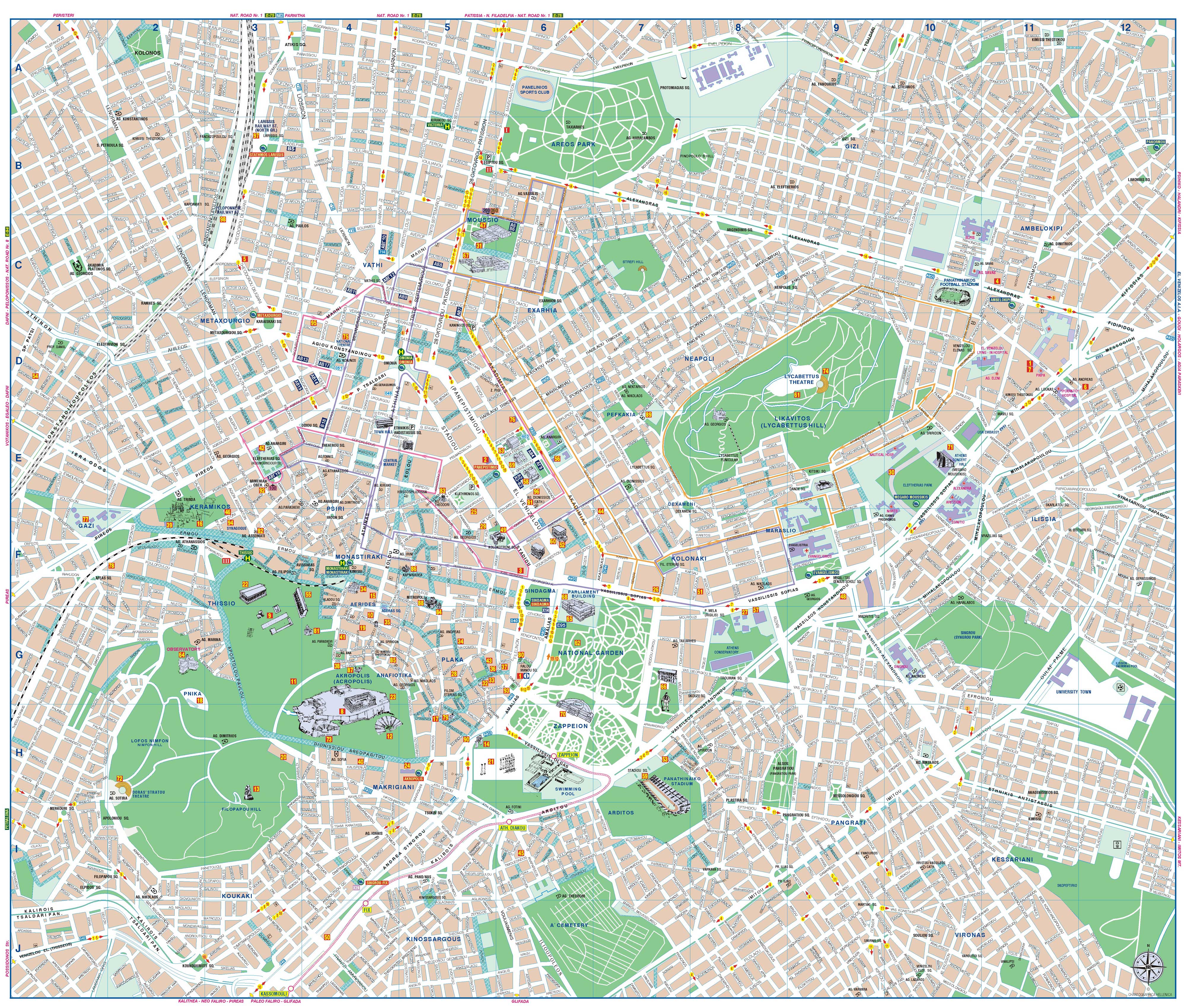
Jo-Lui's Map is fab ... also - http://www.orangesmile.com/destinations/img/athens-map-big.jpg - this is one I give to newcomers to browse. Click on it, it becomes Huuuge & you use side-slides to navigate. Only shows central athens doesn't expand indefinitely like Google. i like this map's color-cues, i.e. green-check streets are no-cars lanes. Its red-box numerals don't have a "key" but you can figure out important ones... i.e. #24 is Acropolis Museum. #14 is Hadrian's arch ... other red-box numerals ALSO show names (i.e. #88 also says Mitropolis = Cathedral). Another thing I like is that street widths indicate BIG Avenues (such as Amalias) which may have 5-6 lanes of busy traffic day & night... something to beware of when booking hotels.